
|
EZTag CE - GNSS Survey Toolbar |
|
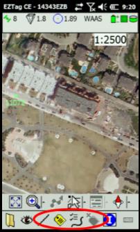
The GNSS Survey Toolbar (available once a survey file is started) allows you to geo-localize your features using GNSS data (positions and observations).
|
|
When the feature being captured is a line or polygon (polyline), the Open Polyline icon ■ Close to terminate the capture; ■ Pause/Resume the capture; ■ Switch to Discrete or Switch to Continuous: a discrete polyline means vertices are added manually using the Add Vertex icon ■ Auto-vertex (2s)... Allows to configure when vertices will be automatically added into the continuous polylines ■ Vertex allows to select, from a list, a point feature available into the data dictionary. The selected point feature can then be used as a polyline vertex (nested feature).
When a polyline is being captured, the Add Vertex icon ■ A polyline vertex can be a simple GNSS point you want to add into your polyline (useful for a discrete polyline). ■ A vertex can also be a point feature (nested feature). When a vertex is a point feature (pre-selected with Open Object > Vertex list), then the nested feature will be captured when using the Add Vertex icon. |
|
Article: 000067 Related Products: EZTag CE Last Update: 2017-04-04 21:21:03 |
|
Document information |
|
|