
|
Importing Geoid Model in EZSurv |
|
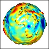
Geoid Model In GNSS positioning, heights are computed with respect to a reference ellipsoid. You must apply geoid undulation corrections if you want to reduce your GNSS heights to the mean sea level (MSL or orthometric height). These corrections are usually computed using geoid proprietary tables provided by government agencies. In differential positioning, (Base and a rover file), it is the relative geoid height which is important. In Precise Point Positioning (no Base Station), it is the absolute geoid height which is important.
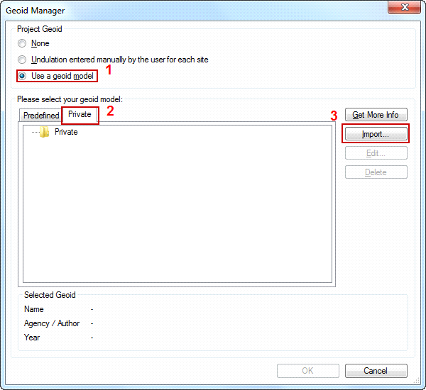
· If you select a geoid model, MSL heights can be fixed at the reference site using the Edit > Site dialog box; · If you do not select a geoid model, ellipsoid heights can be fixed at the reference site using the Edit > Site dialog box. |
|
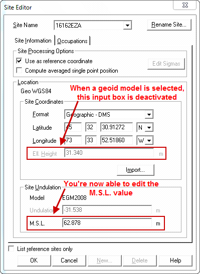
After selecting a model, when you look at the Edit > Site window, only the MSL height (Mean Sea Level) value can now be fixed. If you prefer to fix the Ellipsoidal Height, select None in the Geoid Manager.. |

|
Article: 000020 Related Products: EZSurv Last Update: 2016-11-02 18:43:02 |
|
Document information |
|
|